After weeks of abnormally warm, dry and windy weather, we’re in for a major change.
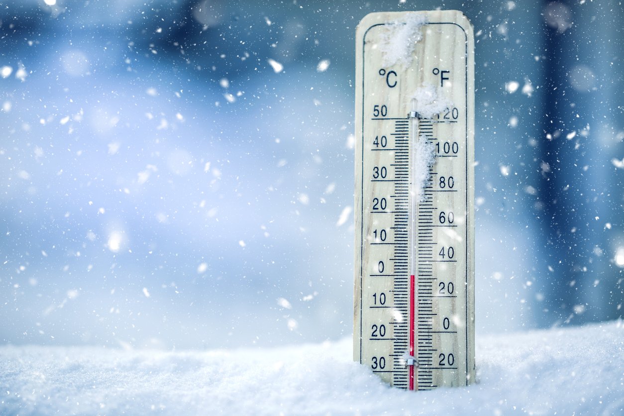
The first significant cold snap of the season is on the way, and that’s going to drop temperatures across southern Alberta to well below normal for a while.
Environment Canada’s Dan Kulak says an arctic front will move into the prairies later in the week and that’s going to bring a big swing in conditions.
“At this point in time we’re not going to have much for daytime highs and overnight lows. It’s all going to be cold, -20°C and in some areas by the middle of next week maybe hitting the -30°C mark, but that’s still a week away. It does look though this cold snap will last until the late part of next week,” says Kulak.
Some snow is also expected over the next number of days, however Kulak notes right now it’ll be more of a cold story than a snowy one.
Meanwhile, not a good week if you’re planning a car trip to British Columbia.
A good portion of that province is under snowfall warnings, winter storm watches and warnings, and heavy rainfall warnings.
Those snowy weather advisories stretch all the way from the Elk Valley just across the Alberta border and through the Interior.
Many areas across the southern and central part of BC are forecast to see a foot of snow with this weather system.
The precipitation will fall as heavy rain in the Fraser Valley, Vancouver, and Vancouver Island areas with 60 to 90 mm expected over the next few days.


