A Special Weather Statement has been issued for Vulcan, Carmangay, Brooks, Bow Island, Medicine Hat areas.
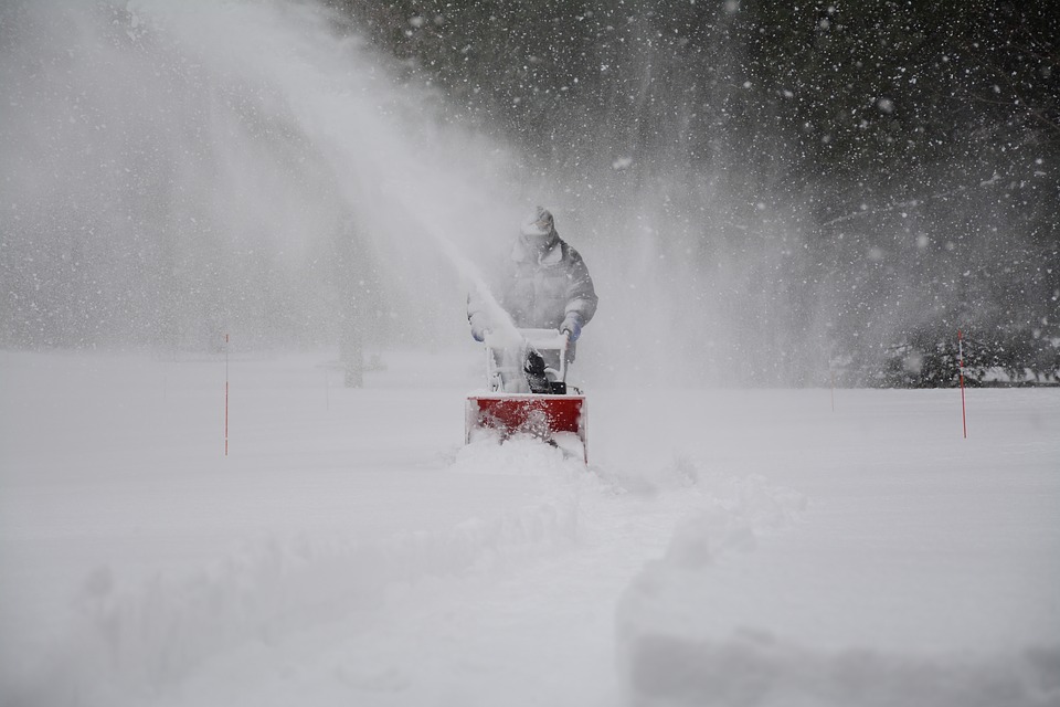
Alberta’s first significant snowfall of the season is expected Friday September 27 through Monday September 30 in the Mountain Parks and Foothills.
Snow is forecast to begin falling in the mountain parks early Friday morning spreading south and eastwards throughout the day. How far east the snow spreads remains uncertain at this time, however the highest accumulations are expected to remain along the foothills and into the mountain parks. Calgary will likely see snowflakes by Friday evening, with accumulations up to 5 cm by Sunday morning.
As the system moves south, upslope flow will enhance snowfall in the extreme southwest corner of the province and into Montana. Warm surface temperatures will affect snowfall accumulations initially but at this time, daily snowfall totals look to be in the 5-10 cm range for most areas, with the Waterton region in the 15-20 cm range. By Monday, total accumulations of 20-30 cm over areas along the mountains and foothills are expected, with the possibility of seeing near 50 cm in localized areas of extreme southwestern Alberta as well as higher elevations in the mountain parks.
Poor driving conditions throughout the weekend can be expected in southwestern Alberta, including Highway 1 west of Calgary and portions of the QEII.
This is expected to be a long duration event, with snow beginning Friday morning and tapering off by Monday. Temperatures are forecast to rebound into the low-mid teens by mid-week, making this brief brush with winter just that…brief.
A Winter Storm Watch remains for all of southwest Alberta.


