


A new learning centre has opened at the University of Lethbridge.
Thanks to support from TECTERRA, geomatics-related fields of study will benefit from the opening of i4Geo, the institute for Geospatial Inquiry, Instruction and Innovation.
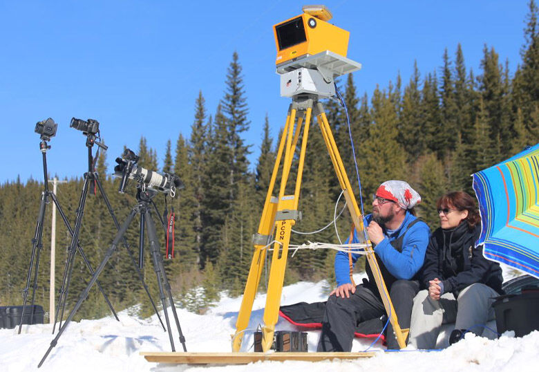
Geomatics deals with the collection, analysis and interpretation of data related to the Earth’s surface. Officials with the U of L say students are the biggest winners following the introduction of i4Geo.
“The University’s geography department has provided me with many opportunities to work with emerging technologies, such as airborne and drone lidar, as well as do fieldwork across western Canada, learning the most current GIS and geospatial analysis techniques for both my undergraduate and graduate work,” says Emily Jones, a PhD student member of the newly-formed i4Geo executive committee.
“The TECTERRA-funded i4Geo institute will help continue these opportunities for myself and other students; opportunities to get hands-on research experience and networking opportunities that have real-life applications,” Jones adds.
Since 2009, TECTERRA has championed the advancement of the geospatial sector in Alberta through funding programs targeted at commercializing technology, and more recently, has focused its efforts on academia to support the next generation of geospatial experts and entrepreneurs.
“We understand that staying ahead of the curve requires constant adaptation and innovation and we are particularly excited about i4Geo’s commitment to developing unique academic programs,” says Monty Carter, Managing Chair at TECTERRA. “As the Institute continues to grow and evolve, we look forward to seeing the impact that its students, faculty and partners will have on the world.”
TECTERRA invested $5.2 million in a Legacy Program for universities based in Alberta in 2023. Of that, $1.3 million was directed to the U of L to help fund different undergraduate and graduate awards for students in geomatics-related fields, as well as further growth opportunities like i4Geo.
The U of L Board of Governors matched a portion of those funds as part of its commitment to student scholarships and business.
“This is something we’ve been working towards for some time and to see it come together is exciting and a real positive push for geospatial study,” says Dr. Chris Hopkinson, Professor in the Department of Geography & Environment and the Board of Governors Research Chair in Remote Sensing and Director of i4Geo.
“There is so much opportunity in geographical information science, geospatial positioning and imaging technologies, sensor networks, big data analytics, artificial intelligence and 3D digital twins. Bringing these fields of study together under the i4Geo umbrella, encompassing research, training, networking, business innovation and community outreach will further establish ULethbridge as leaders in geospatial technology and its applications.”
On Friday, November 29, the institute debuted the first of its three-part set of workshops. This initial three-hour session was dubbed ‘Using R for Geospatial Analysis: Part 1’. The sessions are intended for senior undergraduate and graduate students, while also offering individual modules through Continuing Education to the public in a blended learning environment.
“These workshops will allow us to support internal degree-level training needs, public education and outreach, as well as provide graduate students and postdoctoral fellows an excellent opportunity to share what they have learned and reinforce their own teaching portfolio in an area of their strength,” Hopkinson adds.
More information about i4Geo is available at the University of Lethbridge website.

